3D Mapping & Digital
Create high-accuracy spatial datasets for design, construction and asset management.
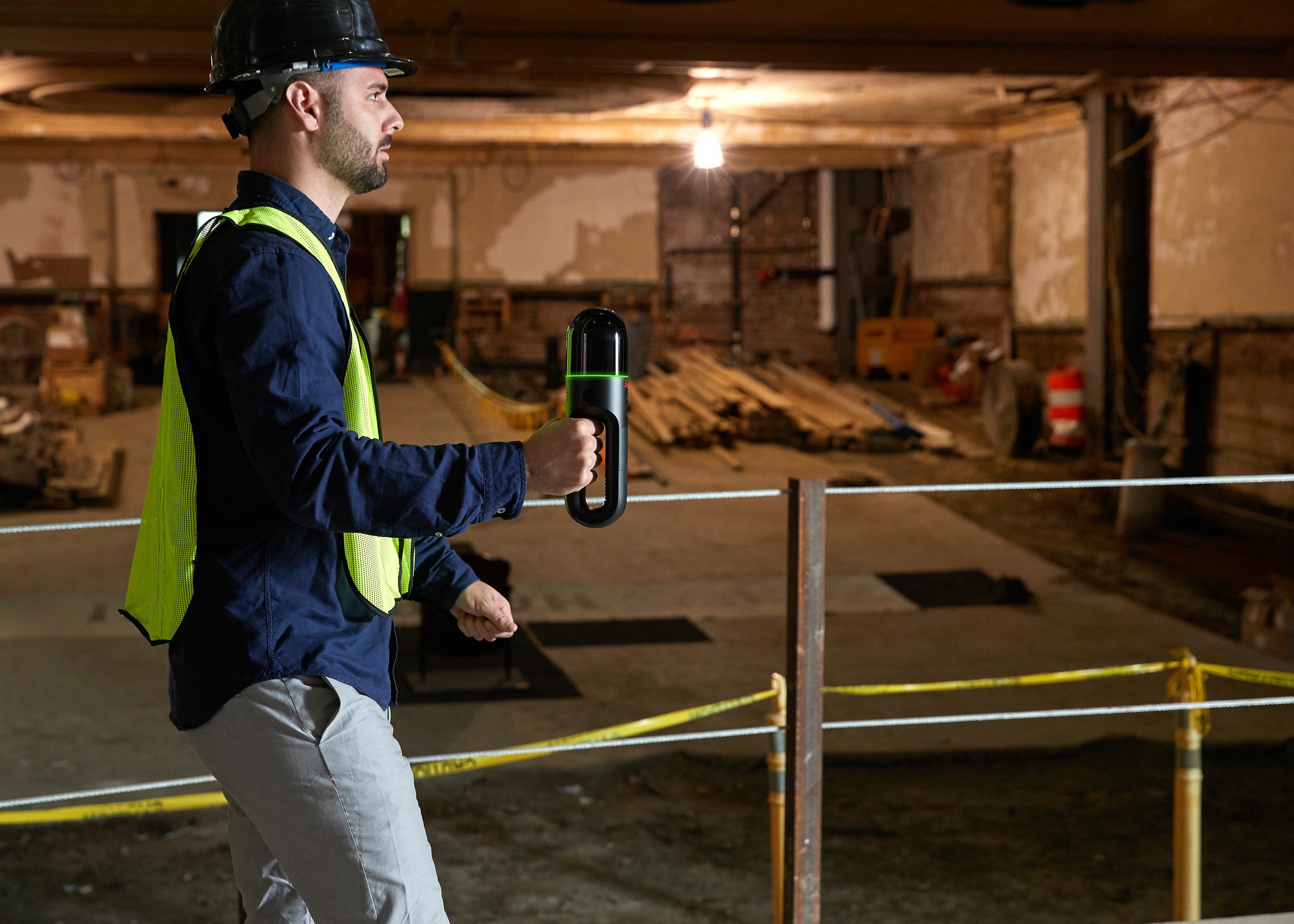
Combining LiDAR, photogrammetry, and drone mapping with BIM workflows, we deliver reality capture and spatial intelligence for a wide range of building and infrastructure projects. This technology is also invaluable in forensic engineering investigations and ensuring accurate data capture for insurance claims and legal reporting.
Capabilities
- 3D laser scanning (LiDAR)
- Drone mapping & orthophotos
- Reality capture
- Building Information Modelling (BIM)
- Matterport 3D tours
- 3D reconstruction / digital twins
Assurance
Seamless integration with architectural,
engineering
and asset management platforms